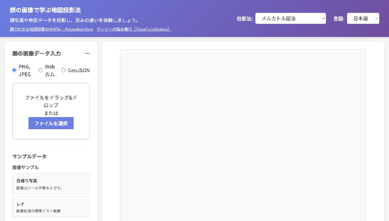
This interactive content projects face photos or GeoJSON data so you can compare distortion across map projections. By switching between projections such as Mercator, Mollweide, Equal Earth, and azimuthal equidistant, you can immediately see how shapes and areas change.
It supports PNG and JPEG uploads as well as webcam input and sample data. Graticules and projection descriptions can also be displayed, making it a practical learning demo for map projections. The site also states that images captured with the webcam are not saved on the server.
